|
|
Statistics |
|
|
|

We will publish statistical data as soon as we have a sufficient internet connection after the first riding day for the first time.
Follow us on Facebook or Instagram to not miss this moment ;-)
| Last update of the statistics page: | |
| 06.07.2026 16:40:01 |  Karlsruhe Local Time (UTC+02:00) Karlsruhe Local Time (UTC+02:00)
|

Tour Duration
| Total Days: | 1465 |
| Riding Days: | 948 |
| Rest Days: | 359 |
| Other Days: | 158 |

Distance
| Total: | 56 580 km |
| Ø per Riding Day: | 60 km |
| Ø Full Riding Days Only: | 69 km |
| Maximum Daily Distance: | 162 km |

Riding Time
| Total: | 4452:45 |
| Ø per Riding Day: | 4:42 |
| Maximum Daily Riding Time: | 9:53 |

Wheel Revolutions
27.6 million

Speed
| Mean: | 12.71 km/h |
| Maximum: | 82.66 km/h |

Ascent
| Total: | 434 617 m |
| Ø per Riding Day: | 458 m |
| Ø Full Riding Days Only: | 542 m |
| Maximum Daily Ascent: | 1923 m |

Altitude
| Highest Altitude: | 4630 m |
| Lowest Altitude: | −273 m |
| Highest Night: | 4410 m |
| Highest Night when Camping: | 3952 m |

Flat Tires
| Belinda: | 25 |
| Tizian: | 28 |
| Patched: | 44 |
| Tube Changed: | 9 |

Use of Stove
| Number: | 507 |
| Fuel Bought: | 25.84 l |

Countries
| Visited Countries: | 47 |
| Border Crossings: | 70 |
| Used Currencies: | 37 |

Images
| Ø per Riding Day: | 48 |
| Total: | 54 445 |
| On Website: | 8353 |
 |
Tour Duration |
| |
Total Ø per Riding Day Ø full Riding Days only |
| |
Total Ø per Riding Day |
| |
Number |
| |
Speed mean maximum |
| |
Total Ø oer Riding Day Ø full Riding Days only |
| |
Flat Tires Belinda Tizian |
| |
Altitude Highest Altitude Lowest Altitude |
| |
Countries |
 |
Showers Belinda Tizian |
| |
|
 |
Haircuts Belinda Tizian |
| |
Ø on Riding Days Total On Website |
 |
Laundry |
| Altitude Diagram | back to top |
In the Altitude Diagram, the altitude above sea level (y axis) is plotted against the distance traveled by bicycle (x axis). Furthermore, the following information can be inferred from the diagram:
Road Surface
 | paved: Route sections with mainly paved roads (asphalted, concreted, cobbled etc.) are drawn in a brighter gold hue. |
 | unpaved: Route sections with mainly unpaved roads (gravel, sand etc.) are drawn in a dark gold hue (some may call it brown ;-)). |
 | alternating: Route sections with frequently alternating paved and unpaved sections are drawn with a dashed line. The ratio of the length of dark and bright dashes corresponds to the approximate/estimated ratio of unpaved and paved roads in this route section. In the example given on the left, a route section with 60 % paved (bright) and 40 % unpaved roads (dark) is shown. |
Points of Interest and Other Relevant Places
 | Places of Overnight Stays/Day No.: Vertical golden lines mark the places of our overnight stays. Thus, each section between two golden lines corresponds to one riding day. If we stayed more than one night at the same place, a double line is plotted. The specified day number corresponds to the consequtive number of all days with day 1 corresponding to the start of the tour. |
 | Towns/Cities: Significant cities, towns or other localities which we came across by bicycle are plotted in a dark gray or black font. Capitals are marked by the use of a bold font. |
 | Waterbodies: Waterbodies (rivers, lakes, seas) are drawn in blue. If we crossed the waterbody or rode alongside it over a short distance, its name is written vertically close to the altitude line (like the cities). If we rode alongside a waterbody over a long distance, the corresponding route section is marked with a blue wave line together with the name of the waterbody below the diagram. |
 | Points of Interest: Miscellaneous interesting places (sights, national parks, mountain passes etc.) are plotted in green. If such points of interest extend over a significant section of the route (e. g. in the case of national parks), the corresponding route section will be equipped with a green line below the diagram. |
 | State Borders: The position of state borders is marked with a gray dashed line as well as with the flags of the contiguous states. If we rode alongside a state border over a long distance, the corresponding route section is marked with a gray dotted line together with the flag of the country on the other side of the border. |
Sonstige Symbole
Ferry rides, significant tunnels and bridges (usually if there are at least a few kilometers long) as well as places where we had a flat tire or took a bath in a natural waterbody (i. e., up to our necks in water), are marked with the following symbols, respectively:


Details about our Altitude Data
We export the data that underlies the Altitude Diagram from our navigation app Locus Map Pro. The route is tracked with GPS; the altitude data is read out of the offline map that we take from OpenAndroMaps (this altitude data is taken for example from SRTM data). Using a Python script that we wrote ourselves, we modify this raw data in the following way:

| Comparison Diagrams | back to top |
| Distance compared to the equatorial circumference of the earth |
Time compared to the earth’s orbital period |
Ascent compared to the altitude of Mount Everest |
Maximum Altitude compared to the altitude of various summits |
|
|
|
|
Central Asia Southwest Asia Altai-Gobi China Balkans Southeast Asia Northeast Asia Oceania Middle East Baltic Sea |
| Weather Diagrams | |||||||||||||||||||||||||||||||||||||||||||||||||
| Cloudage | Precipation | Temperature | Wind | ||||||||||||||||||||||||||||||||||||||||||||||
 |
 |
 |
 |
||||||||||||||||||||||||||||||||||||||||||||||
| (Only riding days are taken into account for the Weather Diagrams.) | |||||||||||||||||||||||||||||||||||||||||||||||||
|
|
|
|
||||||||||||||||||||||||||||||||||||||||||||||
| Monthly Diagram | back to top |
|
|
| Calendar Diagram | back to top |
| Histogramm | back to top |
|
|
|
| Stage Statistics Table | back to top |
| Countries | Distance | Duration | Riding Days | Riding Day Quota |
Unpaved Roads |
Distance | Ø Speed | Altitude | Overnight Stays | Weather | |||||||||||||
| Min | Max | Ascent | Descent |
all
Riding Days
|
|||||||||||||||||||
|
Stage 1: Balkans
Days 1–99 July–Oct. 2022 |
          
|
3802 km | 97.9 days | 67.5 days | 69 % | 10 % | Sum | 3802.23 km | 40 639 m | 40 951 m | 
|
   
|
|||||||||||
| Mean | 56.57 km | 12.2 km/h | 370 m | 864 m | 604 m | 607 m | |||||||||||||||||
| full riding days | 62.45 km | 675 m | 661 m | ||||||||||||||||||||
| Minimum | 11.34 km | 8.1 km/h | 4 m | 62 m | 8 m | 35 m | |||||||||||||||||
| Maximum | 102.29 km | 20.0 km/h | 1452 m | 1900 m | 1508 m | 1445 m | |||||||||||||||||
|
Stage 2: Southwest Asia
Days 99–171 and 300–618 Oct.–Dec. 2022 and May 2023 – Mar. 2024 |
     
|
9703 km | 389.9 days | 188.0 days | 72 % | 10 % | Sum | 9702.57 km | 106 955 m | 107 934 m | 
|
   
|
|||||||||||
| Mean | 51.51 km | 12.3 km/h | 574 m | 996 m | 568 m | 574 m | |||||||||||||||||
| full riding days | 61.85 km | 695 m | 689 m | ||||||||||||||||||||
| Minimum | 0.72 km | 4.0 km/h | −43 m | −13 m | 0 m | 0 m | |||||||||||||||||
| Maximum | 106.95 km | 19.2 km/h | 3140 m | 3247 m | 1923 m | 2511 m | |||||||||||||||||
|
Stage 3: Middle East
Days 171–300 Dec. 2022 – Apr. 2023 |
      
|
5968 km | 129.1 days | 97.0 days | 75 % | 3 % | Sum | 5968.01 km | 33 150 m | 33 293 m | 
|
   
|
|||||||||||
| Mean | 61.37 km | 13.2 km/h | 310 m | 546 m | 342 m | 343 m | |||||||||||||||||
| full riding days | 71.55 km | 395 m | 396 m | ||||||||||||||||||||
| Minimum | 12.52 km | 7.9 km/h | −273 m | 11 m | 15 m | 14 m | |||||||||||||||||
| Maximum | 145.62 km | 18.7 km/h | 920 m | 1220 m | 1305 m | 1458 m | |||||||||||||||||
|
Stage 4: Central Asia
Days 618–734 Mar.–June 2024 |
   
|
5415 km | 115.9 days | 81.0 days | 70 % | 23 % | Sum | 5414.56 km | 40 243 m | 40 195 m | 
|
   
|
|||||||||||
| Mean | 67.22 km | 12.5 km/h | 1150 m | 1592 m | 500 m | 497 m | |||||||||||||||||
| full riding days | 74.04 km | 572 m | 524 m | ||||||||||||||||||||
| Minimum | 9.68 km | 4.6 km/h | −40 m | −7 m | 31 m | 3 m | |||||||||||||||||
| Maximum | 154.08 km | 23.8 km/h | 3927 m | 4630 m | 1265 m | 2213 m | |||||||||||||||||
|
Stage 5: Altai-Gobi
Days 734–811 July–Sept. 2024 |
 
|
4419 km | 77.4 days | 56.5 days | 73 % | 17 % | Sum | 4419.48 km | 28 720 m | 26 938 m | 
|
   
|
|||||||||||
| Mean | 77.98 km | 13.4 km/h | 1239 m | 1648 m | 505 m | 477 m | |||||||||||||||||
| full riding days | 83.96 km | 548 m | 514 m | ||||||||||||||||||||
| Minimum | 3.76 km | 6.7 km/h | 197 m | 573 m | 2 m | 7 m | |||||||||||||||||
| Maximum | 161.57 km | 20.1 km/h | 2359 m | 2847 m | 1303 m | 1610 m | |||||||||||||||||
|
Stage 6: China
Days 812–889 Sept.–Dec. 2024 |
|
4023 km | 77.4 days | 58.5 days | 75 % | 3 % | Sum | 4023.05 km | 38 648 m | 39 993 m | 
|
   
|
|||||||||||
| Mean | 68.79 km | 12.7 km/h | 708 m | 1127 m | 661 m | 684 m | |||||||||||||||||
| full riding days | 72.01 km | 706 m | 717 m | ||||||||||||||||||||
| Minimum | 4.55 km | 7.6 km/h | 75 m | 97 m | 23 m | 11 m | |||||||||||||||||
| Maximum | 106.11 km | 17.2 km/h | 1872 m | 2624 m | 1473 m | 2115 m | |||||||||||||||||
|
Stage 7: Southeast Asia
Days 889–1165 Dec. 2024 – Sept. 2025 |
       
|
10 268 km | 276.0 days | 177.0 days | 69 % | 7 % | Sum | 10 267.99 km | 66 649 m | 66 881 m | 
|
   
|
|||||||||||
| Mean | 58.03 km | 12.9 km/h | 67 m | 282 m | 377 m | 378 m | |||||||||||||||||
| full riding days | 71.53 km | 475 m | 457 m | ||||||||||||||||||||
| Minimum | 0.68 km | 5.0 km/h | 0 m | 5 m | 0 m | 0 m | |||||||||||||||||
| Maximum | 123.06 km | 20.6 km/h | 1195 m | 1701 m | 1503 m | 1541 m | |||||||||||||||||
|
Stage 8: Oceania
Days 1165–1320 Sept. 2025 – Feb. 2026 |
 
|
6913 km | 155.5 days | 118.5 days | 79 % | 30 % | Sum | 6913.29 km | 46 121 m | 46 668 m | 
|
   
|
|||||||||||
| Mean | 58.30 km | 12.3 km/h | 193 m | 413 m | 389 m | 394 m | |||||||||||||||||
| full riding days | 66.42 km | 452 m | 452 m | ||||||||||||||||||||
| Minimum | 6.57 km | 7.4 km/h | 0 m | 15 m | 17 m | 12 m | |||||||||||||||||
| Maximum | 97.89 km | 22.4 km/h | 919 m | 1361 m | 1282 m | 1634 m | |||||||||||||||||
|
Stage 9: Northeast Asia
Days 1321–1391 Feb.–Apr. 2026 |
 
|
2593 km | 70.4 days | 46.0 days | 71 % | 2 % | Sum | 2592.72 km | 18 424 m | 18 446 m | 
|
   
|
|||||||||||
| Mean | 56.36 km | 13.0 km/h | 44 m | 278 m | 401 m | 401 m | |||||||||||||||||
| full riding days | 67.50 km | 494 m | 487 m | ||||||||||||||||||||
| Minimum | 2.45 km | 6.3 km/h | 0 m | 13 m | 15 m | 5 m | |||||||||||||||||
| Maximum | 101.81 km | 15.5 km/h | 799 m | 1399 m | 1481 m | 1317 m | |||||||||||||||||
|
Stage 10: Baltic Sea
Days 1391–1465 Apr.–June 2026 |
   
|
3477 km | 74.6 days | 58.0 days | 78 % | 21 % | Sum | 3476.52 km | 15 063 m | 15 080 m | 
|
   
|
|||||||||||
| Mean | 59.94 km | 13.4 km/h | 47 m | 138 m | 260 m | 260 m | |||||||||||||||||
| full riding days | 71.55 km | 307 m | 307 m | ||||||||||||||||||||
| Minimum | 0.84 km | 7.8 km/h | 0 m | 19 m | 0 m | 0 m | |||||||||||||||||
| Maximum | 108.82 km | 17.1 km/h | 292 m | 698 m | 520 m | 568 m | |||||||||||||||||
| Countries | Distance | Duration | Riding Days | Riding Day Quota |
Unpaved Roads |
Distance | Ø Speed | Altitude | Overnight Stays | Weather | |||||||||||||
| Min | Max | Ascent | Descent |
all
Riding Days
|
|||||||||||||||||||
| Country Statistics Table | back to top |
| Distance | Duration of Stay |
Riding Days | Rest Days | Unpaved Roads |
Distance | Riding Time |
Ø Speed | Altitude | Slope | ||||||||||||||||||||||||||||||||||||||||
| Min | Max | Ascent | Descent | > 2 % | < −2 % | ||||||||||||||||||||||||||||||||||||||||||||
 The complete (and sortable) table can be found here. The complete (and sortable) table can be found here.
|
|||||||||||||||||||||||||||||||||||||||||||||||||
| 44 |
|
Estonia | 345 km | 9.3 days | 7.0 days | 2.0 days | 23 % | Sum | 345.01 km | 26:30 | 1837 m | 1749 m | 44 km | 43 km | |||||||||||||||||||||||||||||||||||
| Mean | 50.98 km | 3:55 | 13.0 km/h | 16 m | 80 m | 264 m | 252 m | 6 km | 6 km | ||||||||||||||||||||||||||||||||||||||||
| full riding days | 64.86 km | 4:59 | 338 m | 324 m | 9 km | 8 km | |||||||||||||||||||||||||||||||||||||||||||
| Minimum | 1.91 km | 0:09 | 11.8 km/h | 0 m | 29 m | 48 m | 42 m | 0 km | 0 km | ||||||||||||||||||||||||||||||||||||||||
| Maximum | 77.88 km | 5:53 | 14.2 km/h | 45 m | 151 m | 419 m | 386 m | 10 km | 9 km | ||||||||||||||||||||||||||||||||||||||||
| 45 |
|
Latvia | 658 km | 12.9 days | 10.0 days | 3.0 days | 22 % | Sum | 657.54 km | 48:36 | 2280 m | 2350 m | 57 km | 47 km | |||||||||||||||||||||||||||||||||||
| Mean | 62.25 km | 4:38 | 13.5 km/h | 10 m | 62 m | 222 m | 229 m | 5 km | 5 km | ||||||||||||||||||||||||||||||||||||||||
| full riding days | 75.57 km | 5:36 | 238 m | 247 m | 6 km | 5 km | |||||||||||||||||||||||||||||||||||||||||||
| Minimum | 29.74 km | 2:21 | 9.6 km/h | 0 m | 20 m | 96 m | 86 m | 2 km | 2 km | ||||||||||||||||||||||||||||||||||||||||
| Maximum | 98.43 km | 7:20 | 15.9 km/h | 45 m | 154 m | 404 m | 415 m | 14 km | 11 km | ||||||||||||||||||||||||||||||||||||||||
| 46 |
|
Lithuania | 332 km | 5.8 days | 5.0 days | 1.0 days | 4 % | Sum | 332.19 km | 22:10 | 1385 m | 1154 m | 31 km | 25 km | |||||||||||||||||||||||||||||||||||
| Mean | 73.57 km | 4:54 | 15.0 km/h | 24 m | 96 m | 287 m | 247 m | 6 km | 5 km | ||||||||||||||||||||||||||||||||||||||||
| full riding days | 80.70 km | 5:22 | 306 m | 271 m | 7 km | 6 km | |||||||||||||||||||||||||||||||||||||||||||
| Minimum | 9.43 km | 0:48 | 11.8 km/h | 0 m | 21 m | 111 m | 31 m | 3 km | 0 km | ||||||||||||||||||||||||||||||||||||||||
| Maximum | 108.82 km | 6:21 | 17.1 km/h | 168 m | 234 m | 397 m | 392 m | 9 km | 8 km | ||||||||||||||||||||||||||||||||||||||||
| 47 |
|
Poland | 778 km | 13.2 days | 12.0 days | 1.0 days | 33 % | Sum | 778.35 km | 57:57 | 3335 m | 3575 m | 77 km | 80 km | |||||||||||||||||||||||||||||||||||
| Mean | 64.69 km | 4:48 | 13.4 km/h | 29 m | 128 m | 281 m | 297 m | 7 km | 7 km | ||||||||||||||||||||||||||||||||||||||||
| full riding days | 70.91 km | 5:18 | 305 m | 322 m | 7 km | 7 km | |||||||||||||||||||||||||||||||||||||||||||
| Minimum | 9.43 km | 0:48 | 11.7 km/h | 0 m | 26 m | 78 m | 31 m | 2 km | 0 km | ||||||||||||||||||||||||||||||||||||||||
| Maximum | 102.47 km | 7:01 | 15.1 km/h | 168 m | 261 m | 443 m | 568 m | 11 km | 14 km | ||||||||||||||||||||||||||||||||||||||||
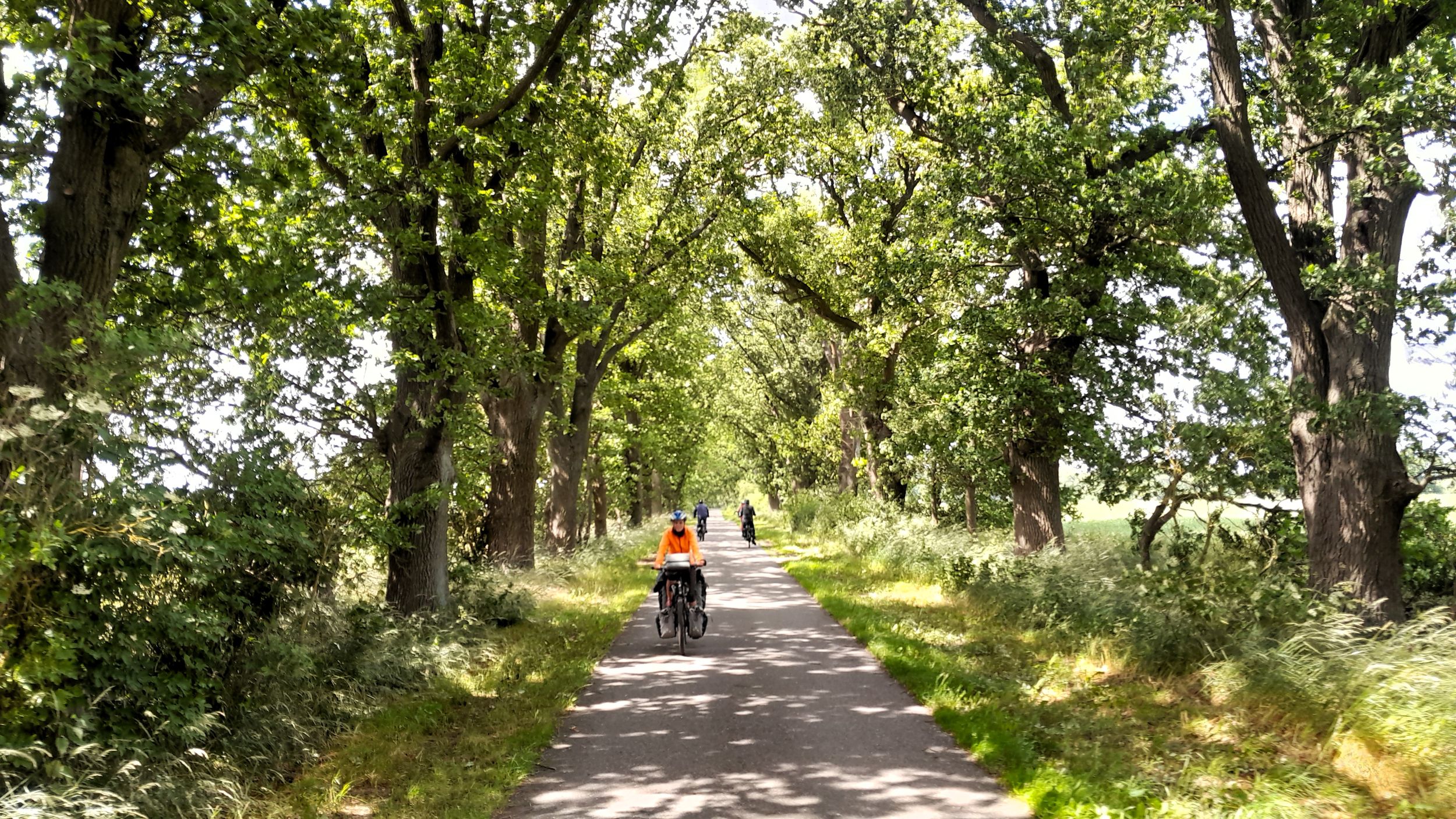
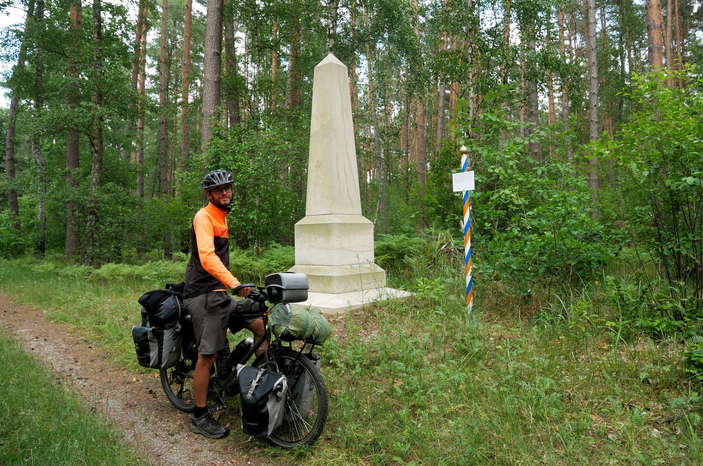
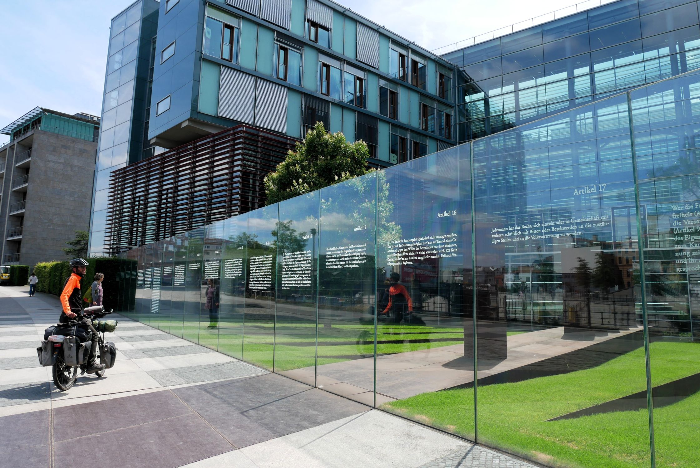
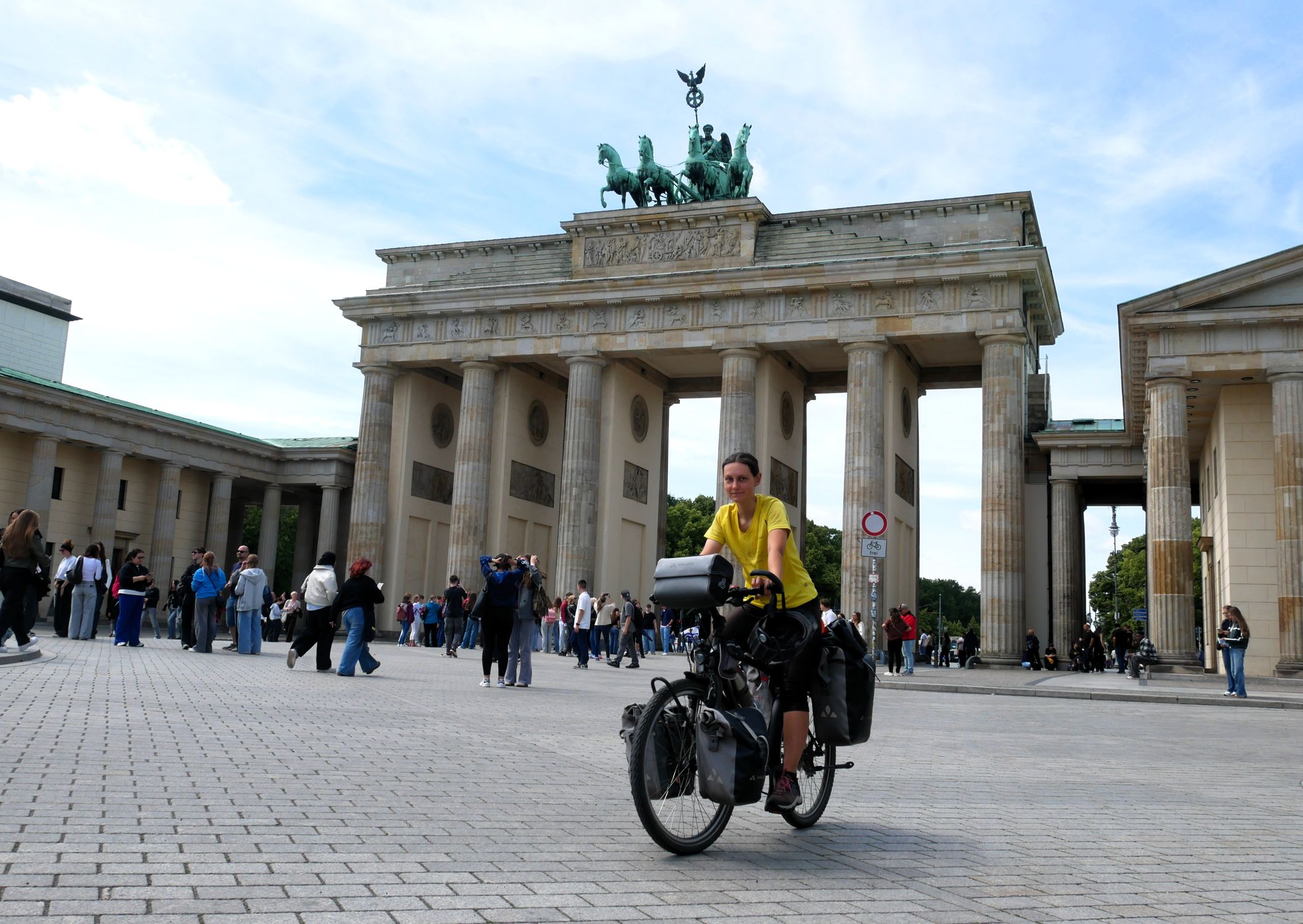
| 1 |
|
Germany | 1501 km | 31.2 days | 25.0 days | 7.0 days | 22 % | Sum | 1501.38 km | 116:02 | 7808 m | 7082 m | 187 km | 176 km | |||||||||||||||||||||||||||||||||||
| Mean | 60.94 km | 4:44 | 12.9 km/h | 176 m | 352 m | 326 m | 289 m | 8 km | 7 km | ||||||||||||||||||||||||||||||||||||||||
| full riding days | 65.03 km | 5:04 | 349 m | 308 m | 8 km | 8 km | |||||||||||||||||||||||||||||||||||||||||||
| Minimum | 5.19 km | 0:25 | 10.4 km/h | 0 m | 57 m | 29 m | 35 m | 0 km | 2 km | ||||||||||||||||||||||||||||||||||||||||
| Maximum | 91.06 km | 6:36 | 15.2 km/h | 820 m | 941 m | 723 m | 594 m | 16 km | 13 km | ||||||||||||||||||||||||||||||||||||||||
| Distance | Duration of Stay |
Riding Days | Rest Days | Unpaved Roads |
Distance | Riding Time |
Ø Speed | Altitude | Slope | ||||||||||||||||||||||||||||||||||||||||
| Min | Max | Ascent | Descent | > 2 % | < −2 % | ||||||||||||||||||||||||||||||||||||||||||||
Main Data
Detailed Data
| Daily Statistics Table | back to top |
| Distance | Riding Time |
Departure | Arrival | Ø Speed | Unpaved Roads |
Altitude | Slope | ||||||||||||||||||||
| Min | Max | Ascent | Descent | > 2 % | < −2 % | ||||||||||||||||||||||
| Sum | 56 580.42 km | 4452:45 | 434 617 m | 436 384 m | 9068 km | 9186 km | |||||||||||||||||||||
| Mean | 59.68 km | 4:42 | 08:49 | 16:36 | 12.7 km/h | 13 % | 429 m | 745 m | 458 m | 460 m | 10 km | 10 km | |||||||||||||||
| full riding days | 69.31 km | 5:27 | 08:36 | 17:19 | 542 m | 530 m | 11 km | 11 km | |||||||||||||||||||
| Minimum | 0.68 km | 0:06 | 04:19 | 06:49 | 4.0 km/h | 0 % | −273 m | −13 m | 0 m | 0 m | 0 km | 0 km | |||||||||||||||
| Maximum | 161.57 km | 9:53 | 18:30 | 23:46 | 23.8 km/h | 100 % | 3927 m | 4630 m | 1923 m | 2511 m | 33 km | 45 km | |||||||||||||||
| Day | Date | Country | Place of Departure | Place of Arrival | Distance | Riding Time |
Departure | Arrival | Ø Speed | Unpaved Roads |
Altitude | Slope | Weather | Reports/ Map/Images |
|||||||||||||
| Min | Max | Ascent | Descent | > 2 % | < −2 % | ||||||||||||||||||||||
| The complete (and sortable) table can be found here.
|
|||||||||||||||||||||||||||
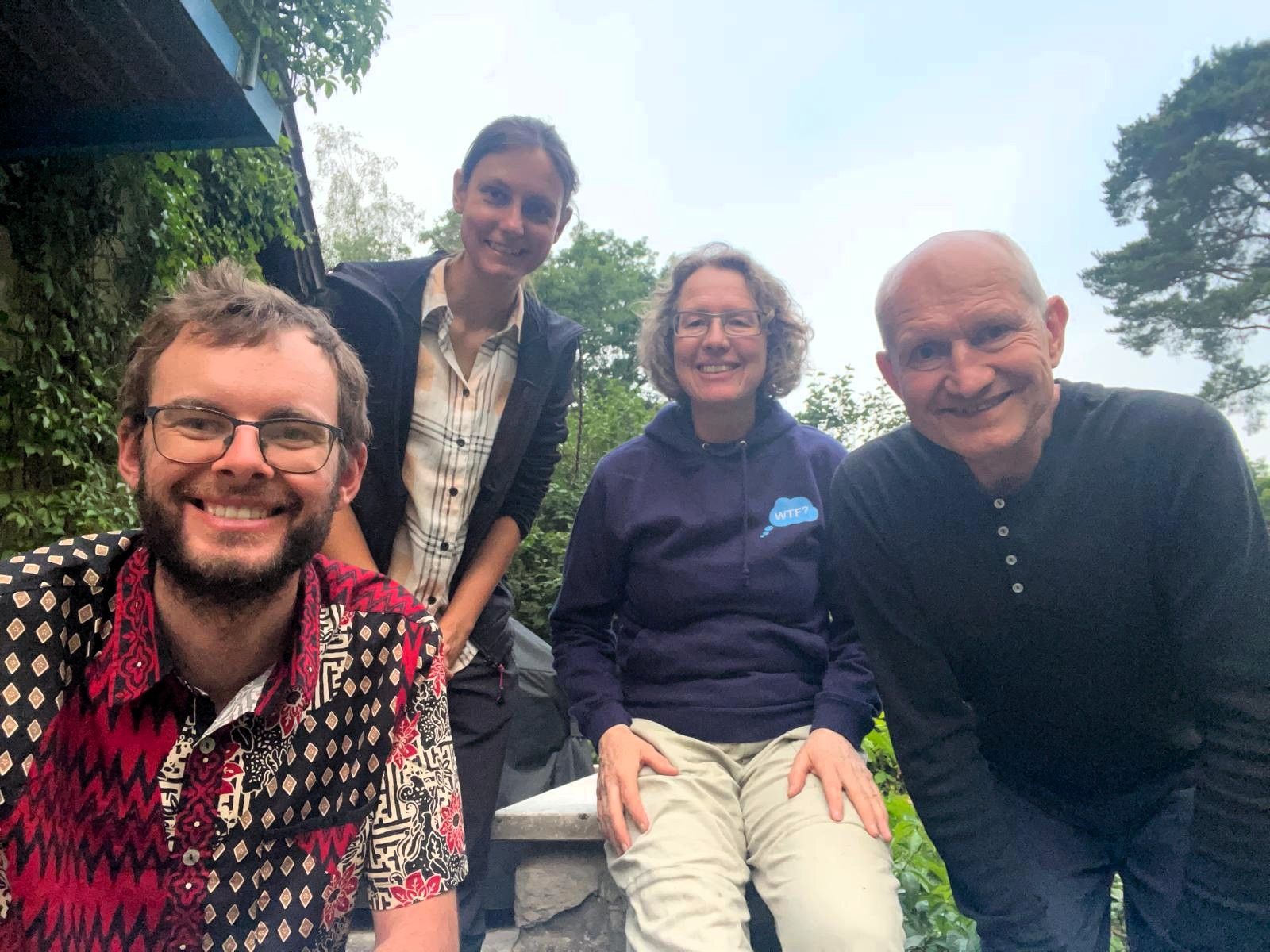
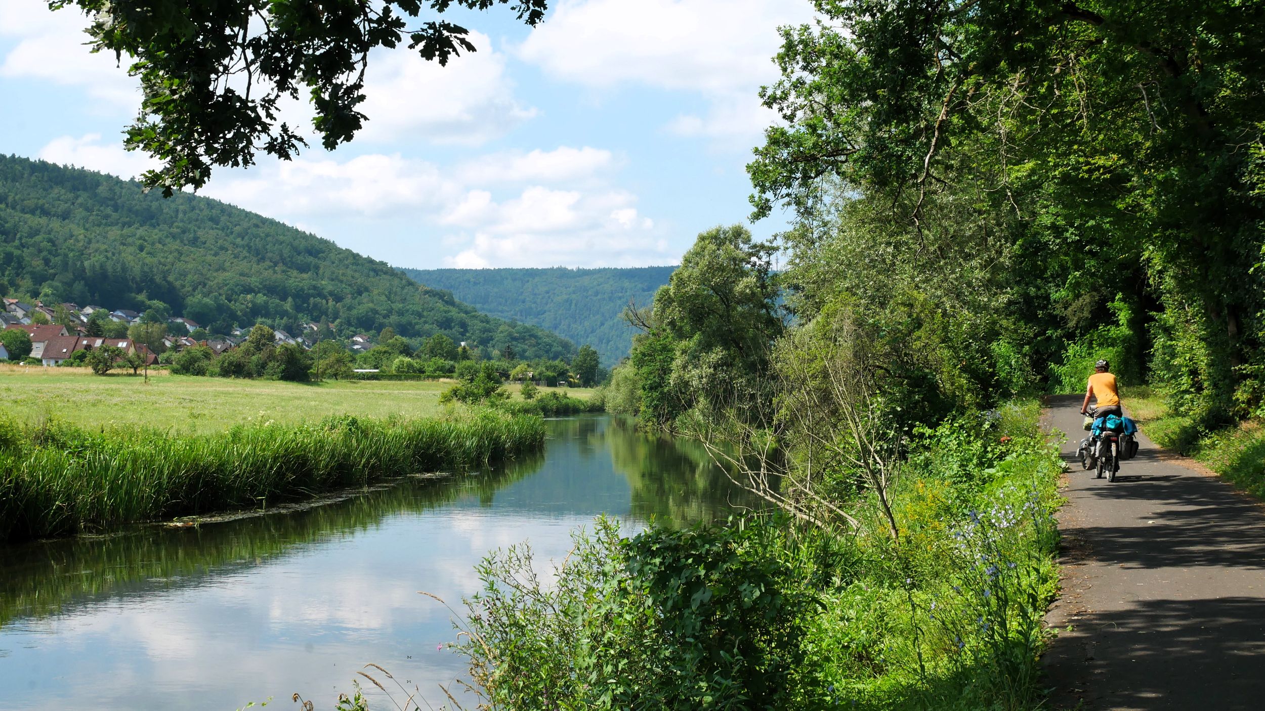
| 1445 | Mon, 15.06.26 |
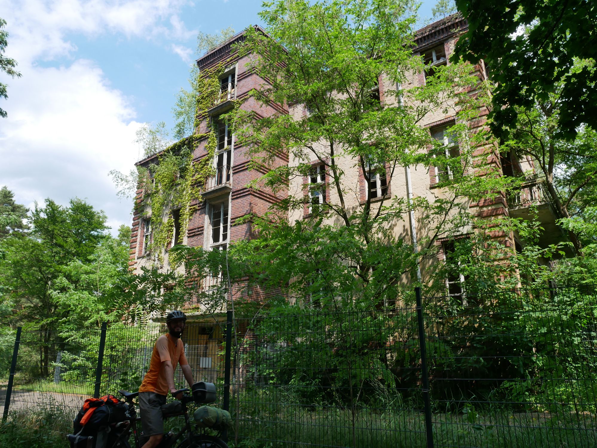
|
Zechlin | Krämer | 70.96 km | 5:49 | 09:05 | 17:49 | 12.2 km/h | 42 % | 25 m | 101 m | 300 m | 324 m | 7 km | 8 km | 
|

|

|
||||||||
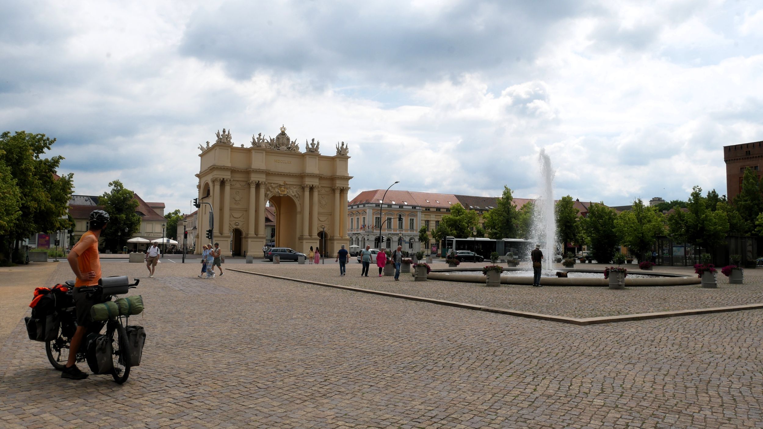
| 1446 | Tue, 16.06.26 |
|
Krämer | Potsdam | 61.50 km | 4:46 | 08:26 | 17:32 | 12.9 km/h | 8 % | 19 m | 69 m | 222 m | 239 m | 6 km | 7 km | 
|

|
|
||||||||
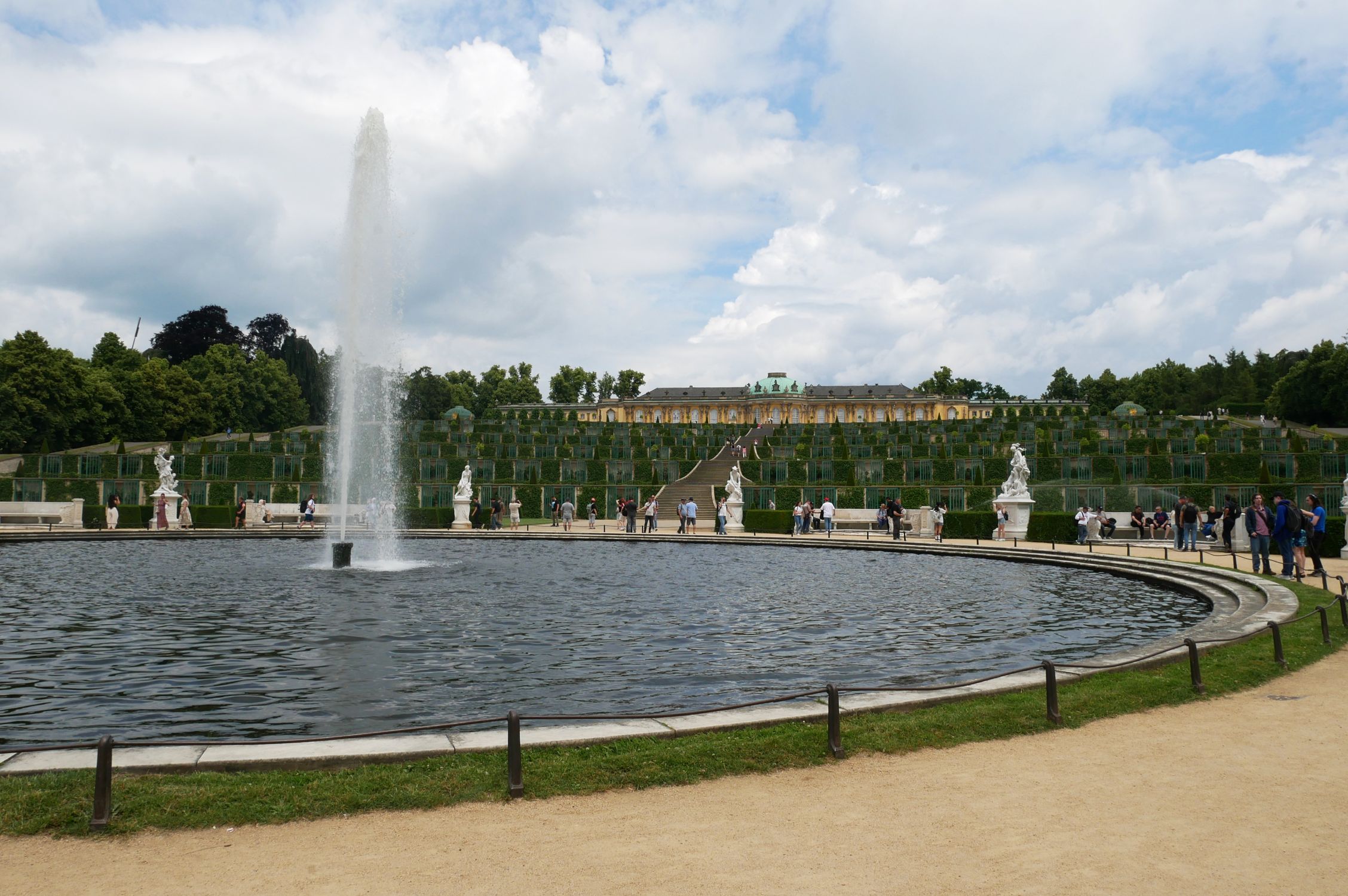
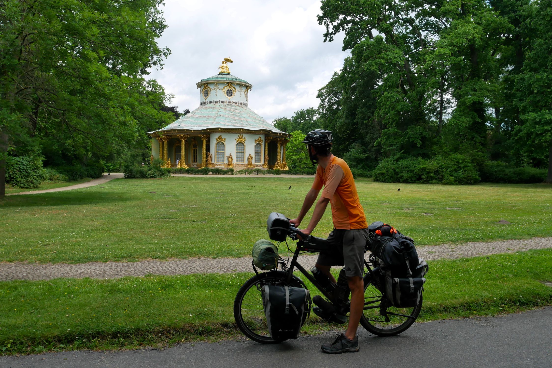
| 1447 | Wed, 17.06.26 |
|
Potsdam | 
|
|||||||||||||||||||||||
| 1448 | Thu, 18.06.26 |
|
Potsdam | Bad Belzig | 91.06 km | 6:36 | 09:33 | 19:43 | 13.8 km/h | 10 % | 20 m | 164 m | 505 m | 437 m | 16 km | 11 km | 
|

|

|
||||||||
| 1449 | Fri, 19.06.26 |
|
Bad Belzig | Bitterfeld | 66.02 km | 5:24 | 08:30 | 19:04 | 12.2 km/h | 26 % | 62 m | 187 m | 307 m | 305 m | 8 km | 11 km |
|

|
|
||||||||
| 1450 | Sat, 20.06.26 |
|
Bitterfeld | Halle West | 48.85 km | 3:19 | 08:36 | 14:10 | 14.8 km/h | 0 % | 72 m | 142 m | 148 m | 160 m | 3 km | 3 km | 
|
|
|
||||||||
| 1451 | Sun, 21.06.26 |
|
Halle West |
|
|||||||||||||||||||||||
| 1452 | Mon, 22.06.26 |
|
Halle West |
|
|||||||||||||||||||||||
| 1453 | Tue, 23.06.26 |
|
Halle West | Halle-Ost | 5.19 km | 0:25 | 11:29 | 12:07 | 12.5 km/h | 0 % | 72 m | 104 m | 29 m | 35 m | 0 km | 2 km | 
|
|
|
||||||||
| 1454 | Wed, 24.06.26 |
|
Halle-Ost |
|
|||||||||||||||||||||||
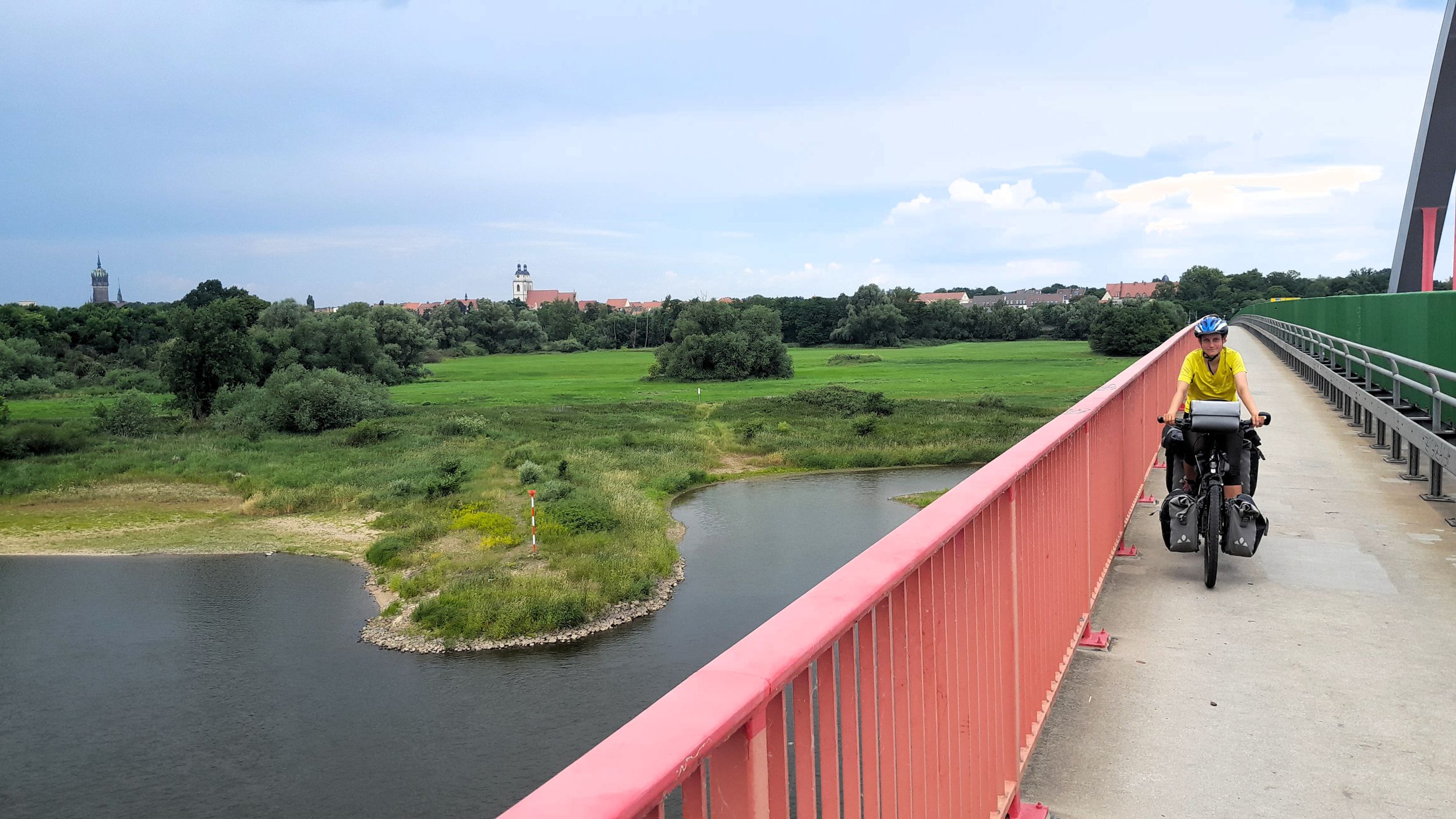
| 1455 | Thu, 25.06.26 |
|
Halle-Ost | Bad Kösen | 86.49 km | 6:15 | 10:15 | 21:08 | 13.8 km/h | 13 % | 74 m | 140 m | 322 m | 314 m | 7 km | 8 km |
|
|
|
||||||||
| 1456 | Fri, 26.06.26 |
|
Bad Kösen | Rudolstadt | 64.05 km | 4:41 | 08:53 | 21:26 | 13.7 km/h | 9 % | 117 m | 188 m | 253 m | 187 m | 5 km | 3 km |
|

|
|
||||||||
| 1457 | Sat, 27.06.26 |
|
Rudolstadt | Katzhütte | 57.09 km | 4:52 | 07:32 | 19:10 | 11.7 km/h | 39 % | 182 m | 557 m | 520 m | 146 m | 15 km | 5 km |
|
|
|
||||||||
| 1458 | Sun, 28.06.26 |
|
Katzhütte | Hermannsfeld | 61.63 km | 4:25 | 08:24 | 19:28 | 13.9 km/h | 12 % | 292 m | 698 m | 321 m | 520 m | 7 km | 10 km |
|
|

|
||||||||
| 1459 | Mon, 29.06.26 |
|
Hermannsfeld | Fuchsstadt | 78.06 km | 5:46 | 09:21 | 19:11 | 13.5 km/h | 34 % | 194 m | 429 m | 297 m | 486 m | 9 km | 13 km | 
|
|
|
||||||||
| 1460 | Tue, 30.06.26 |
|
Fuchsstadt | Marktheidenfeld | 71.72 km | 5:04 | 09:01 | 16:52 | 14.2 km/h | 20 % | 133 m | 217 m | 249 m | 323 m | 6 km | 8 km |
|
|
|
||||||||
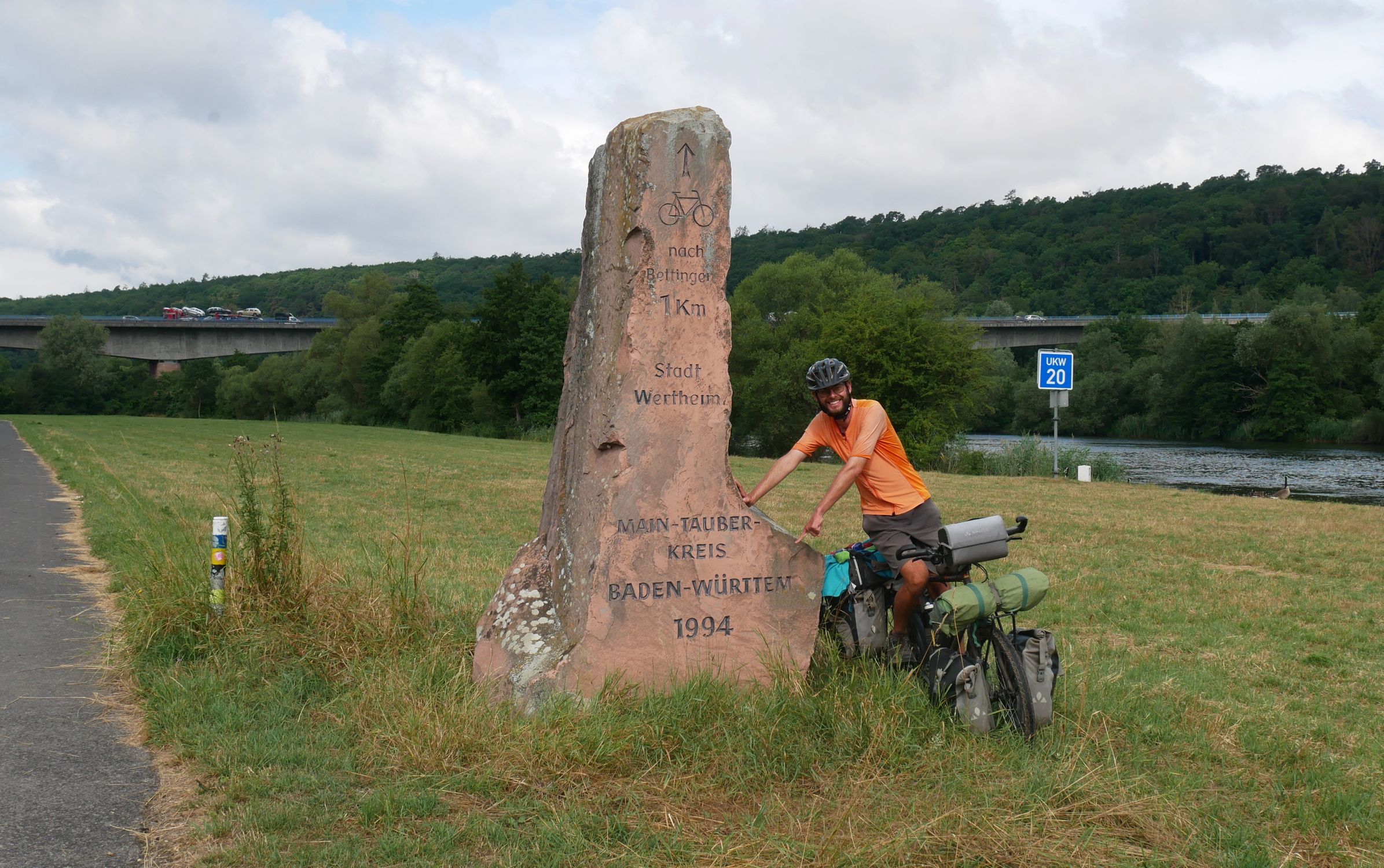
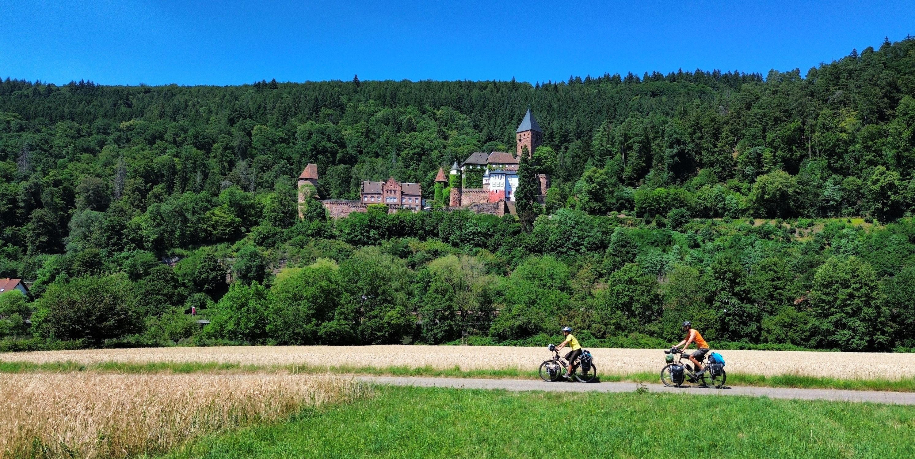
| 1461 | Wed, 01.07.26 |
|
Marktheidenfeld | Amorbach | 71.76 km | 5:16 | 08:57 | 16:49 | 13.6 km/h | 5 % | 117 m | 231 m | 313 m | 239 m | 8 km | 7 km |
|
|
|
||||||||
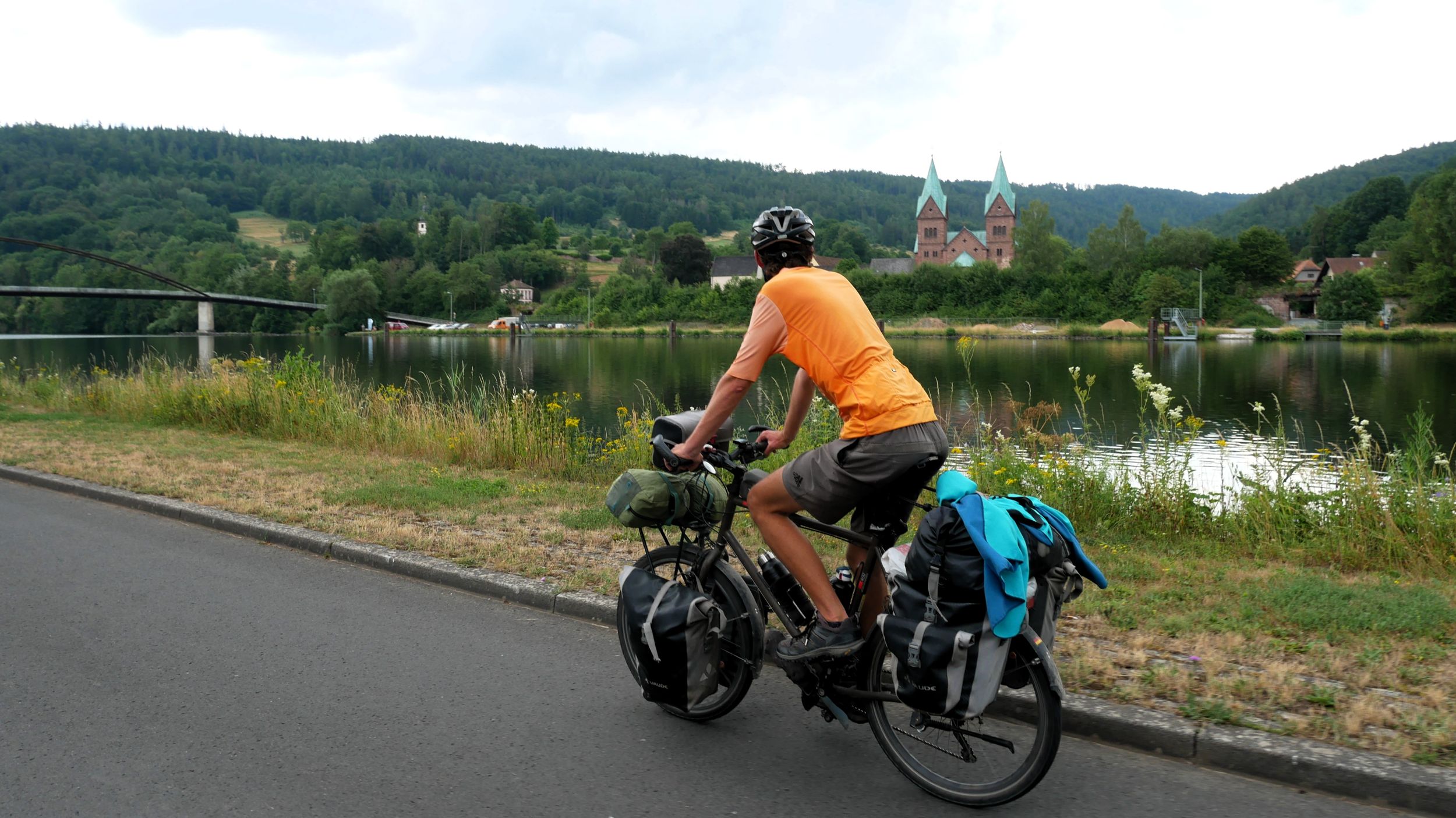
| 1462 | Thu, 02.07.26 |
|
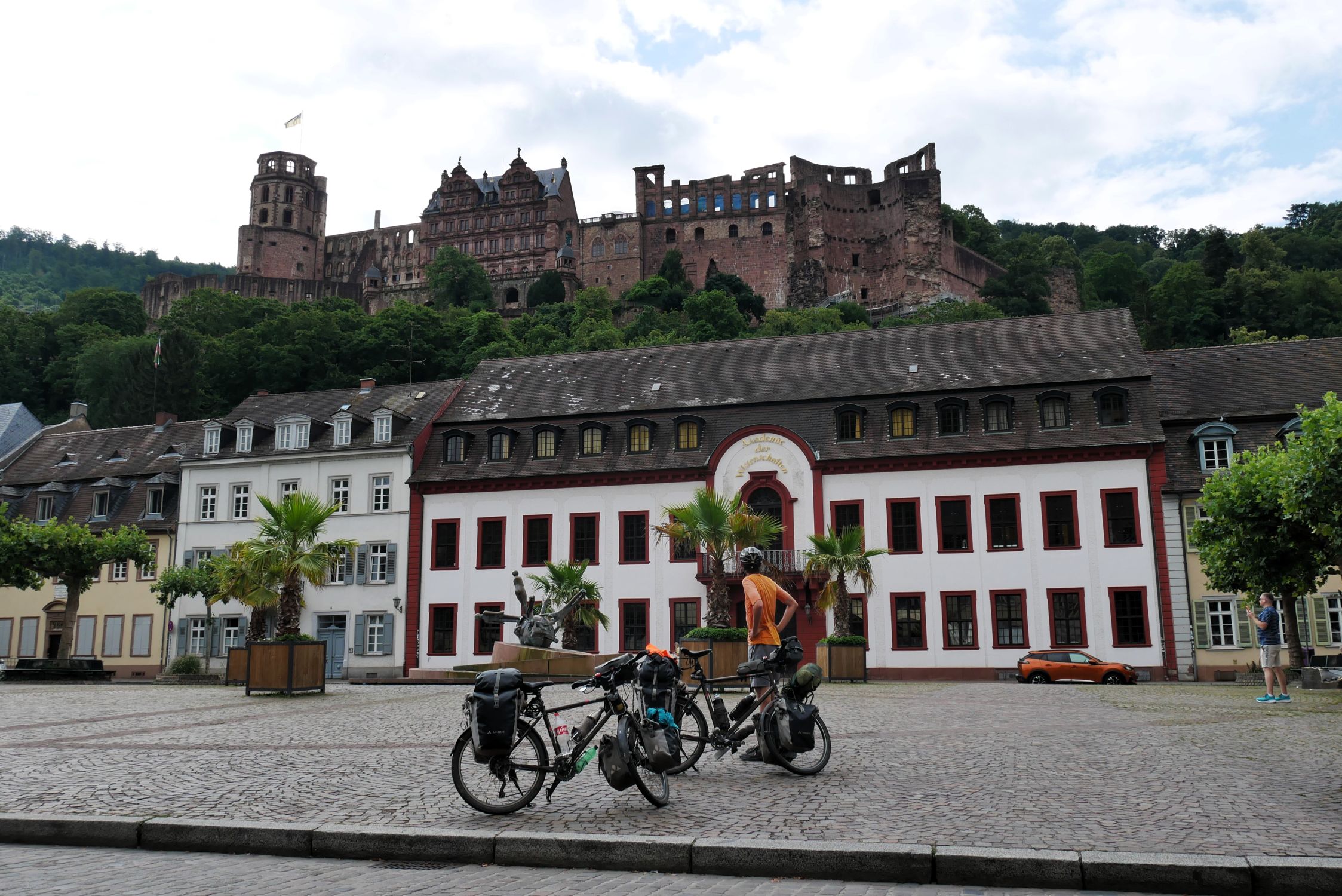
Amorbach | Hirschhorn | 72.48 km | 5:15 | 08:06 | 17:40 | 13.8 km/h | 10 % | 119 m | 457 m | 380 m | 501 m | 12 km | 13 km |
|
|
|
||||||||
| 1463 | Fri, 03.07.26 |
|
Hirschhorn | Neckargemünd | 22.58 km | 1:37 | 08:49 | 16:56 | 14.0 km/h | 54 % | 110 m | 139 m | 95 m | 102 m | 2 km | 3 km |
|
|
|
||||||||
| 1464 | Sat, 04.07.26 |
|
Neckargemünd |
|
|||||||||||||||||||||||
| 1465 | Sun, 05.07.26 |
|
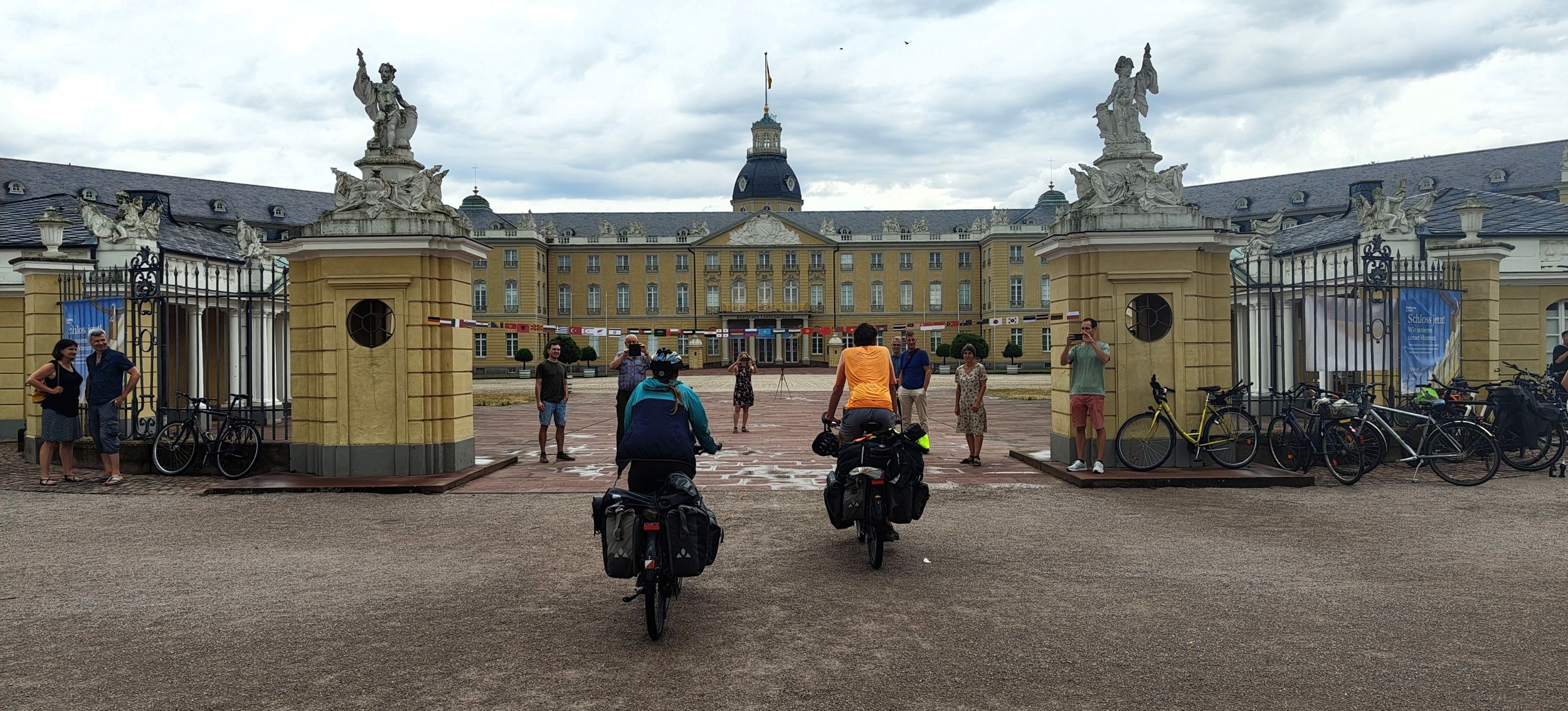
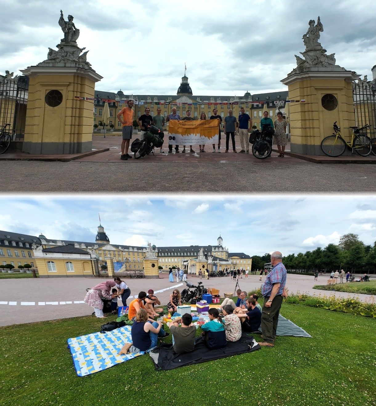
Neckargemünd | Karlsruhe | 65.59 km | 4:19 | 09:15 | 15:59 | 15.2 km/h | 24 % | 90 m | 127 m | 201 m | 207 m | 4 km | 3 km | 
|
|
|
||||||||
| Day | Date | Country | Place of Departure | Place of Arrival | Distance | Riding Time |
Departure | Arrival | Ø Speed | Unpaved Roads |
Altitude | Slope | Weather | Reports/ Map/Images |
|||||||||||||
| Min | Max | Ascent | Descent | > 2 % | < −2 % | ||||||||||||||||||||||
| Correlation Diagram | back to top |
| Finance Diagram | back to top |
Fixkosten Monatliche oder jährliche Fixkosten wie Versicherungen, Konto-/Kartengebühren oder Webhostinggebühren. |
Definitionen der Kategorien
Zweiradler Tours: Central Asia Tour
Belinda
Tizian


all Zweiradler Tours • About Us • Support • Contact • Legal Notices
For the licensing of the content of this website and the privacy policy see the legal notices. © 2022 Belinda Benz & Tizian Römer.


